Village, Market Town or Port: Reading a Settlement’s Shape
Read a village, market town or port through its routes, centre and waterfront, and separate visible settlement patterns from claims that need local evidence.
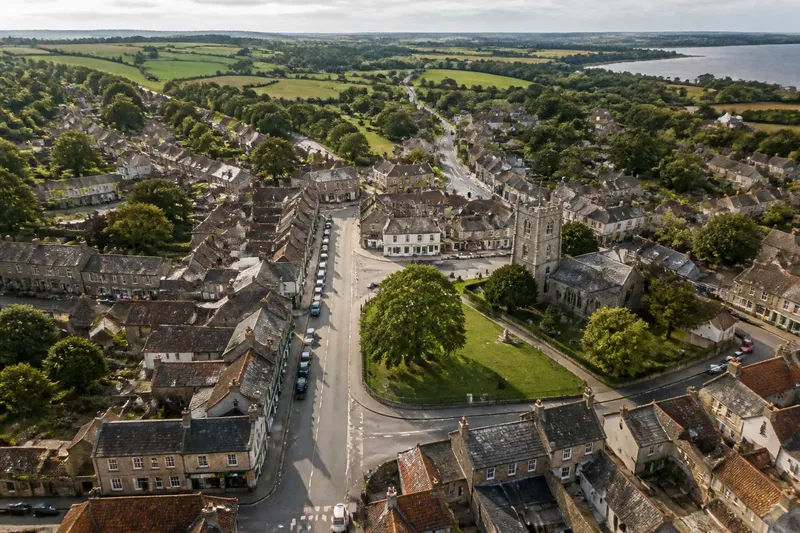
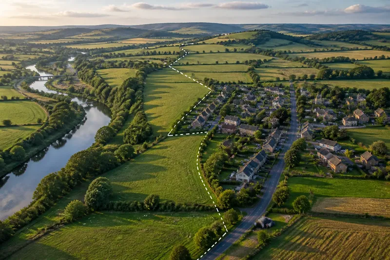
A village, market town or port often leaves a distinctive pattern on the map, but no single street or open space proves what the place once was. To read a settlement’s shape, compare its routes, centre and edges, then treat each clue as part of a wider picture.
Start with a map that shows the whole settlement
Choose a current Ordnance Survey map, a local authority map or a clearly labelled online map. Begin at a scale where you can see the settlement’s outline and the roads leading into it. Zooming in too far can make a short lane look like the whole story; a wider view shows how the built-up area relates to its surroundings.
Mark the continuous built-up area in your mind rather than assuming the parish or local authority boundary is the settlement’s edge. A village may sit beside a larger built-up area while retaining a distinct street form. A market town, by contrast, may have expanded well beyond its older centre.
Do not decide the settlement type yet. Note visible features without interpreting them: a broad street, a triangular space, a tight group of lanes, a quay or several converging roads. Keeping observation separate from interpretation makes it easier to assess the clues fairly.
Trace the routes before judging the centre
Follow the main roads and paths into the settlement. Notice whether they meet at one obvious point, pass through the centre or skirt the built-up area. Look for streets that continue in roughly the same direction beyond the settlement, as well as lanes that end at a courtyard, green or waterside edge.
A village often has a compact form: a main street or small cluster of streets, with houses arranged along them. Some villages have several hamlets joined by newer building, so the pattern may be less tidy than a simple model suggests. A market town may show more routes feeding towards a central area, with additional streets and blocks around it. A port may have routes oriented towards a harbour, landing place or waterfront, though later roads can obscure that connection.
Routes are clues, not verdicts. A road junction may reflect a modern bypass or newer housing estate. Check whether the apparent focus sits within the older street pattern or at its edge. Changes in block size and street alignment can help distinguish a compact centre from later expansion.
Read the shape of the central space
Inspect the place where streets seem to gather or widen. A market town may have a broad high street, market square or widened junction. A village centre may be marked by a green, churchyard, small square, pub or shop rather than a formal market space. A port’s central public space may face the waterfront, with streets connecting it to quays or harbour-side buildings.
Look at the space’s shape and its relationship to nearby buildings. Is it enclosed by continuous frontages, open on one side or divided by traffic? Does it sit along a street, at a junction or beside the water? A wide street alone does not establish a market town, and a church alone does not establish a village. The useful observation is how several features work together.
Say you are examining a fictional settlement called Merewick. Its map shows a long main street, a small green beside a church and no visible waterfront. You note those features, then notice a larger road junction nearby and newer building at the edges. Your provisional description becomes “a compact centre with later expansion”; you leave the settlement’s historical label open until local evidence supports one.
Check for a waterfront connection
For a possible port, look beyond the word “harbour” on a map. Identify the water’s edge, any quay or pier, and the streets that connect them to the built-up area. A port-shaped layout may include a concentrated frontage near the water, storage or working spaces close to it, and routes leading inland. A current map may show only remnants if the waterfront has been redeveloped.
Consider the setting of the water, but do not infer a settlement’s past role from geography alone. A seaside promenade, marina or riverside path can belong to a place whose present-day centre lies elsewhere. A local interpretation board or council heritage record may provide context that street form cannot.
Compare settlement clues before choosing a label
Use the same questions when comparing settlements. For each observation, decide what it supports and what further evidence would change your interpretation:
- Observe whether the main streets gather around one centre or form several clusters; if one focus is clear, describe it as a concentrated centre, but if clusters remain distinct, describe the settlement as dispersed.
- Observe whether a broad street or open space sits among continuous building frontages; if it does, note a possible central space, but if buildings do not frame it, avoid calling it a market square on shape alone.
- Observe whether several routes converge on the centre or pass around it; if they converge, record a route focus, but if they bypass it, check whether newer roads explain the pattern.
- Observe whether streets visibly connect the built-up area to a quay, harbour or other waterfront space; if they do, investigate a port connection, but if they do not, avoid inferring one from a nearby water feature.
- Observe whether a compact core differs from later-looking extensions; if it does, describe the centre and expansion separately, but if the pattern is unclear, keep the account at the level of visible streets and blocks.
- Observe whether a map label or local heritage record supports a historical interpretation; if a reliable source does, attribute the claim to that evidence, but if none is available, retain a descriptive rather than historical label.
A settlement can combine traits: a former port may now have a village-like centre, while a market town can include a waterfront quarter. Describe the layout first—“a compact cluster around a green” or “a broad central street with several approaches”—and use a historical label only when supporting evidence makes it appropriate.
What can a settlement’s shape tell you?
Can a market square prove that a place was a market town?
No. An open square may serve several purposes, and its appearance on a map does not establish its origin. Look for a reliable local heritage description rather than treating the shape alone as proof.
Does a village always have one main street?
No. Some villages have branching lanes, dispersed clusters or more than one small focus. Describe the pattern you can see instead of measuring it against a single model.
How can I tell whether a settlement is a port?
Look for a clear spatial link between the built-up area and a working or former waterfront, including connecting streets and waterside structures. If the distinction matters, check a local map, heritage record or other reliable source.
Which map should I use to inspect street patterns?
A current, detailed map is useful for routes and open spaces; an older map can help reveal changes in the centre or waterfront. Check its date and coverage, since a missing feature may reflect the map rather than the settlement.
Describe what the map supports
Separate observation from interpretation. “The main street widens beside a square” is directly visible. “The square served a market” is a historical claim that needs evidence beyond its outline. This distinction makes an account more useful to anyone comparing places.
The strongest reading of a village, market town or port comes from the relationship between streets, central spaces and edges, not from one picturesque feature. If the historical label remains uncertain, a precise description of the settlement’s shape is still a useful conclusion and a clear starting point for checking a local history source.