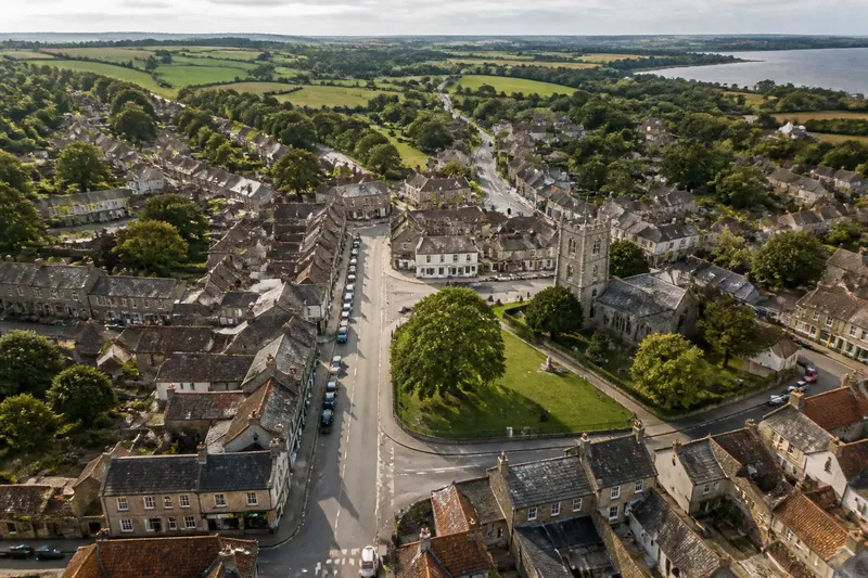
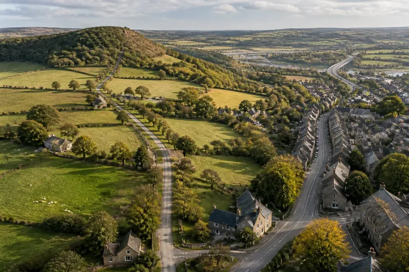
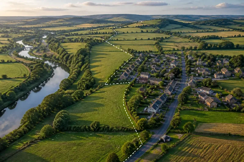
Why Rivers Often Become the Quiet Organisers of a County
See how river valleys organise settlement and movement, and learn to read their influence without mistaking one landform for the whole county.
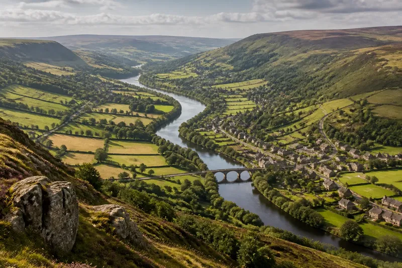
A river valley can make a county’s scattered features easier to read: settlements cluster on its floor or sides, crossings gather routes, and higher ground shapes the approaches. River valleys organise movement and settlement, but the river is only one influence among several. To read its role well, compare the valley with the ridges, slopes and crossings around it.
Three approaches help: trace the valley as a corridor, examine the terrain that constrains it, and compare both with routes that take another line. The first suits a quick map-reading, the second reveals where the river’s influence weakens, and the third helps explain patterns the river cannot account for.
Read the valley as a corridor
A valley is a low strip of land formed or shaped by a river and its surrounding slopes. It can offer a gentler route through higher ground than a ridge, while water and flatter land can make certain sites useful for settlement, fields or industry. These advantages vary from place to place; a narrow gorge and a broad floodplain do not offer the same choices.
Begin with a topographic map rather than a road map. Contour lines show changes in elevation: lines close together indicate steeper slopes, while lines farther apart mark gentler ground. Trace the river and note where contours open into a wider valley. Then look for groups of settlements, bridges, roads and railways along that lower corridor.
This approach suits readers who want to understand the broad pattern before investigating individual places. It can show why a sequence of settlements follows a valley, or why several routes converge near a crossing. It does not, by itself, explain when those features developed or why one site was chosen over another.
Let the surrounding relief complicate the river story
Relief means the shape and height of the land. A river may run through a county, yet steep valley sides can limit building and make movement awkward. In another stretch, the channel may meander across a broad floodplain, leaving ample room but making bridges or roads dependent on suitable crossing points.
Compare the valley floor with the higher ground on either side. A village on a slope above the river may be near the water without sitting beside it. That position can reflect local terrain, access to farmland, or a preference for ground less exposed to flooding. These are possibilities to investigate, not conclusions to draw from elevation alone.
Imagine a county map where a river passes below a ridge-top settlement. You trace the contours and see that the valley sides are steep, while a gentler saddle connects the settlement to another district. The saddle offers a plausible explanation for a route that bypasses the river; checking nearby roads and crossings would help distinguish that reading from a guess.
This terrain-first approach suits anyone puzzled by apparent exceptions: a settlement away from the river, or a route that crosses hills instead of following the valley. It also prevents a common error: treating a river as an automatic magnet for every nearby feature.
Compare river routes with routes across the county
Rivers can guide movement, but they can also obstruct it. A channel may be easy to follow along one bank and difficult to cross, especially where the valley is steep or bridges are scarce. Roads may therefore run parallel to the river for a time, cross at a convenient point, then turn towards a market or a pass beyond the county.
To compare these patterns, place a historic or current transport map beside a relief map. Look for roads and railways that follow the valley, cross it at bridges, or leave it at a gap in the hills. If a route continues across higher ground, consider what it connects on the far side rather than assuming it is a deviation without purpose.
This approach suits readers who want to explain connections between districts, not simply locate settlements. It makes room for other organisers: a ridge gap, a destination beyond the county, or a crossing that offers a practical passage. A river may set part of the route’s direction while another feature determines where it turns.
Which map-reading approach fits your question?
How can I tell whether a settlement follows a river valley?
Check whether several settlements align with the lower ground, then compare their positions with contours and roads. A single settlement beside water is weak evidence of a county-wide pattern; a repeated alignment is more suggestive.
Why might a road avoid a river?
The channel may be difficult to cross, or the valley sides may offer little room for a route. The road may also be heading towards a destination or a pass that lies away from the river.
What should I compare on a map?
Use a topographic map for elevation, a road or railway map for movement, and a settlement map for clusters. Reading them together separates the shape of the land from the choices people made within it.
Which approach should I use first?
Start with the corridor view if you want the county’s broad pattern. Choose the terrain-first view to explain an exception, or compare routes when your question is about how places connect.
Choose evidence that matches the question
There is no need to force every map feature into a single explanation. For a broad overview, trace the river valley and the settlements beside it. For a puzzling location, inspect slopes, ridges and gentler crossings. For a route that seems to ignore the river, look at where it begins, crosses and leads.
Maps can suggest relationships but cannot establish every cause. A modern road may not follow older movement, and a settlement’s position can reflect several influences accumulated over time. If the question concerns a particular crossing or route, compare maps from different periods where available, and distinguish what the map shows from what you infer.
Read rivers as organisers, not authors, of the county landscape. Their valleys can channel movement and offer attractive places to settle, but relief can redirect both, and routes may serve connections beyond the river corridor. The clearest account of a county comes from noticing where these influences agree—and where the map gives you reason to look elsewhere.